CO₂ emissions are rising
In models used by the Intergovernmental Panel on Climate Change (IPCC), carbon dioxide (CO₂) emissions were expected to come down in line with pledges made at the Paris Agreement. Yet, the Global Carbon Project projects growth in CO₂ emissions from fossil fuels and industry in 2018 to be +2.7%, within uncertainty margins from +1.8% to +3.7%.

This rise is in line with an image from an earlier post that shows growth of CO₂ in the atmosphere to be accelerating.
Methane emissions rising as well
And it's not just CO₂ emissions that are rising. Methane emissions are rising as well. Sadly, politicians typically ignore this elephant in the room, in particular seafloor methane emissions that threaten to trigger a huge temperature rise within years.
The MetOp image below shows high methane levels over oceans on December 9, 2018, pm, at 469 mb. Levels over the Arctic Ocean in particular are very high, as the large areas solidly colored magenta indicate.

The MetOp image shows many areas where no data were available, as indicated by the color grey. The NPP images don't have as many grey areas. The image below confirms very high methane levels over the Arctic Ocean on December 9, 2018 pm, closer to the surface, i.e. at 840 mb. While there still are many grey areas, the absence of data for many of them is due to altitude, since large parts of Greenland, Antarctica and the Himalayas are rather high.

As discussed in earlier posts, large amounts of methane appear to be rising from the Arctic Ocean. As the methane rises higher in the atmosphere, it moves closer to the Equator. The NPP image below shows levels at 399 mb on December 9, 2018, pm. At this altitude, there are very few grey areas, so it's possible to get a fuller picture of where the highest levels of methane are. Ominously, levels as high as 3060 ppb were reached.

 El Niño events will intensify
The image on the right shows that, on December 30, 2018, sea surface temperature anomalies were as high as 9.7°C or 17.4°F in the Pacific Ocean, 11.1°C or 20°F in the Atlantic Ocean and 17.1°C or 30.8°F near Svalbard in the Arctic Ocean.
NOAA expects El Niño to form and continue through the Northern Hemisphere winter 2018-19 (~90% chance). A recent study concludes that global warming will enhance both the amplitude and the frequency of eastern Pacific El Niño events.
Albedo change
 Albedo change due to decline of the snow and ice cover is another feedback that the IPCC has yet to come to grips with. The IPCC seems to have hoped that albedo loss in the Arctic was somehow compensated for by albedo gain in the Antarctic.
The IPCC (in AR5, WG1) did find a significant increase in Antarctic annual mean sea ice extent that is very likely in the range of 1.2 to 1.8 % per decade between 1979 and 2012 (0.13 to 0.20 million km² per decade) (very high confidence).
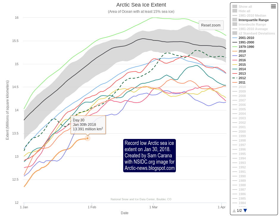
As the image below shows, global sea ice extent steadily came down, but then grew somewhat until end 2014. From end 2014 on, Antarctic sea ice extent fell rapidly, with huge repercussions for global sea ice extent, as also illustrated by the image on the right that highlights the most recent years of the graph below.
At the end of 2016, Antarctic sea ice extent was a lot smaller than it was at the end of 2014. Such a difference in sea ice extent corresponds with a huge difference in radiative forcing (RF).

 Antarctic sea ice was 5.599 million km² on December 31, 2018, a record low for the time of year and 4.119 million km² less than on December 31, 2014, when extent was 9.718 million km².
This decline could make a difference of 1.3 W/m² in RF. By comparison, the IPCC estimated the net RF from all emissions by people from 1750 to 2011 at 1.6 W/m².
As the image below shows, global sea ice extent was at a record low for the time of year on Dec. 28, 2018, and looks set to go lower in 2019.

 Antarctic sea ice decline is only part of the picture, there's also Arctic sea ice decline and there's decline of the snow and ice cover on land.
Joint impact
A lot of this has not been accounted for by the IPCC, i.e. the recent increases in CO₂ emissions, increases in methane releases, increases in further emissions such as nitrous oxide and black carbon, albedo changes due to decline in the snow and ice cover and associated changes such as jet stream changes, more permafrost melting and stronger impacts of future El Niño events.
The image on the right shows the joint impact of the warming elements that threaten to eventuate over the next few years and that could result in a 10°C or 18°F global temperature rise in a matter of years.
The situation is dire and calls for comprehensive and effective action, as described at the Climate Plan.
Links
• Global Carbon Project
http://www.globalcarbonproject.org
• Looking the climate abyss in the eye!
https://arctic-news.blogspot.com/2018/09/looking-the-climate-abyss-in-the-eye.html
• How much warmer is it now?
https://arctic-news.blogspot.com/2018/04/how-much-warmer-is-it-now.html
• Feedbacks
https://arctic-news.blogspot.com/p/feedbacks.html
• How much warming have humans caused?
https://arctic-news.blogspot.com/2016/05/how-much-warming-have-humans-caused.html
• Albedo change in the Arctic
http://arctic-news.blogspot.com/2012/07/albedo-change-in-arctic.html
• IPCC AR5 WG1 chapter 4
https://www.ipcc.ch/site/assets/uploads/2018/02/WG1AR5_Chapter04_FINAL.pdf
• The Threat
https://arctic-news.blogspot.com/p/threat.html
• Extinction
https://arctic-news.blogspot.com/p/extinction.html
• Climate Plan
https://arctic-news.blogspot.com/p/climateplan.html
• NOAA El Niño forecast
https://www.cpc.ncep.noaa.gov/products/analysis_monitoring/lanina/enso_evolution-status-fcsts-web.pdf
https://www.cpc.ncep.noaa.gov/products/analysis_monitoring/enso_advisory/ensodisc.shtml
• El Niño events to become stronger and more intense
https://www.theage.com.au/environment/climate-change/el-nino-events-to-become-stronger-and-more-intense-study-finds-20181212-p50lrv.html
https://www.nature.com/articles/s41586-018-0776-9
In models used by the Intergovernmental Panel on Climate Change (IPCC), carbon dioxide (CO₂) emissions were expected to come down in line with pledges made at the Paris Agreement. Yet, the Global Carbon Project projects growth in CO₂ emissions from fossil fuels and industry in 2018 to be +2.7%, within uncertainty margins from +1.8% to +3.7%.
This rise is in line with an image from an earlier post that shows growth of CO₂ in the atmosphere to be accelerating.
 |
| [ Growth of CO₂ in ppm, based on annual Mauna Loa data (1959-2017), with 4th-order polynomial trend added ] |
Methane emissions rising as well
And it's not just CO₂ emissions that are rising. Methane emissions are rising as well. Sadly, politicians typically ignore this elephant in the room, in particular seafloor methane emissions that threaten to trigger a huge temperature rise within years.
 |
| [ ignoring the elephant in the room, i.e. seafloor methane ] |

The MetOp image shows many areas where no data were available, as indicated by the color grey. The NPP images don't have as many grey areas. The image below confirms very high methane levels over the Arctic Ocean on December 9, 2018 pm, closer to the surface, i.e. at 840 mb. While there still are many grey areas, the absence of data for many of them is due to altitude, since large parts of Greenland, Antarctica and the Himalayas are rather high.

As discussed in earlier posts, large amounts of methane appear to be rising from the Arctic Ocean. As the methane rises higher in the atmosphere, it moves closer to the Equator. The NPP image below shows levels at 399 mb on December 9, 2018, pm. At this altitude, there are very few grey areas, so it's possible to get a fuller picture of where the highest levels of methane are. Ominously, levels as high as 3060 ppb were reached.

 El Niño events will intensify
The image on the right shows that, on December 30, 2018, sea surface temperature anomalies were as high as 9.7°C or 17.4°F in the Pacific Ocean, 11.1°C or 20°F in the Atlantic Ocean and 17.1°C or 30.8°F near Svalbard in the Arctic Ocean.
NOAA expects El Niño to form and continue through the Northern Hemisphere winter 2018-19 (~90% chance). A recent study concludes that global warming will enhance both the amplitude and the frequency of eastern Pacific El Niño events.
Albedo change
Albedo change due to decline of the snow and ice cover is another feedback that the IPCC has yet to come to grips with. The IPCC seems to have hoped that albedo loss in the Arctic was somehow compensated for by albedo gain in the Antarctic.The IPCC (in AR5, WG1) did find a significant increase in Antarctic annual mean sea ice extent that is very likely in the range of 1.2 to 1.8 % per decade between 1979 and 2012 (0.13 to 0.20 million km² per decade) (very high confidence).
As the image below shows, global sea ice extent steadily came down, but then grew somewhat until end 2014. From end 2014 on, Antarctic sea ice extent fell rapidly, with huge repercussions for global sea ice extent, as also illustrated by the image on the right that highlights the most recent years of the graph below.
At the end of 2016, Antarctic sea ice extent was a lot smaller than it was at the end of 2014. Such a difference in sea ice extent corresponds with a huge difference in radiative forcing (RF).


This decline could make a difference of 1.3 W/m² in RF. By comparison, the IPCC estimated the net RF from all emissions by people from 1750 to 2011 at 1.6 W/m².
As the image below shows, global sea ice extent was at a record low for the time of year on Dec. 28, 2018, and looks set to go lower in 2019.
 Antarctic sea ice decline is only part of the picture, there's also Arctic sea ice decline and there's decline of the snow and ice cover on land.
 Joint impact
A lot of this has not been accounted for by the IPCC, i.e. the recent increases in CO₂ emissions, increases in methane releases, increases in further emissions such as nitrous oxide and black carbon, albedo changes due to decline in the snow and ice cover and associated changes such as jet stream changes, more permafrost melting and stronger impacts of future El Niño events.
The image on the right shows the joint impact of the warming elements that threaten to eventuate over the next few years and that could result in a 10°C or 18°F global temperature rise in a matter of years.
The situation is dire and calls for comprehensive and effective action, as described at the Climate Plan.
Links
• Global Carbon Project
http://www.globalcarbonproject.org
• Looking the climate abyss in the eye!
https://arctic-news.blogspot.com/2018/09/looking-the-climate-abyss-in-the-eye.html
• How much warmer is it now?
https://arctic-news.blogspot.com/2018/04/how-much-warmer-is-it-now.html
• Feedbacks
https://arctic-news.blogspot.com/p/feedbacks.html
• How much warming have humans caused?
https://arctic-news.blogspot.com/2016/05/how-much-warming-have-humans-caused.html
• Albedo change in the Arctic
http://arctic-news.blogspot.com/2012/07/albedo-change-in-arctic.html
• IPCC AR5 WG1 chapter 4
https://www.ipcc.ch/site/assets/uploads/2018/02/WG1AR5_Chapter04_FINAL.pdf
• The Threat
https://arctic-news.blogspot.com/p/threat.html
• Extinction
https://arctic-news.blogspot.com/p/extinction.html
• Climate Plan
https://arctic-news.blogspot.com/p/climateplan.html
• NOAA El Niño forecast
https://www.cpc.ncep.noaa.gov/products/analysis_monitoring/lanina/enso_evolution-status-fcsts-web.pdf
https://www.cpc.ncep.noaa.gov/products/analysis_monitoring/enso_advisory/ensodisc.shtml
• El Niño events to become stronger and more intense
https://www.theage.com.au/environment/climate-change/el-nino-events-to-become-stronger-and-more-intense-study-finds-20181212-p50lrv.html
https://www.nature.com/articles/s41586-018-0776-9